Tuesday, 14 February 2023

Villa Rosa and the Shrubbery Estate, Weston-super-Mare

From the 1850s several suburban housing estates of elegant villas were built around Weston-super-Mare for middle class people looking for peace and privacy away from the bustle of the seafront and the town centre, for example The Shrubbery, The Grove, Montpelier and Ellenborough Park. Their roads were private and they were sometimes protected by gatekeepers’ lodges.  The villas all had servants’ quarters and private gardens.  Some of the estates, including The Shrubbery, also had communal gardens for the sole use of the residents. However, there were no shops or public houses. Goods were delivered to the houses from the shops in the town centre by donkey or horse. 

Richard Parsley and William Cox became the owners of the land on which the Shrubbery Estate now stands in 1815 when the area was enclosed by Act of Parliament. Parsley and Cox subsequently quarrelled and in the 1830s Cox let or sold his half of the land to a formidable lady called Sophia Rooke (1787-1874). She had a mansion built on it c1844, on the site of a previous house. She called the house Villa Rosa. The house was designed by James Wilson of Bath and was Italian in style with a tower. It was built in pink limestone, hence its name. It was surrounded by large grounds, which at one time contained a private zoo. A South Lodge was built in 1839 at the entrance to the estate.

South Lodge, Shrubbery Road

In the early 1850s three villas were built close to Villa Rosa: Overcoombe, Coombe Bank and Coombe Cottage (later called Coombe Lodge). An East Lodge was constructed (this was demolished in the 1970s). Around 1859 more villas were built in the Shrubbery Estate and a network of winding roads was constructed. Shrubbery Road now separated Villa Rosa from most of its garden, so an ornamental footbridge was constructed over the road, to reconnect the grounds with the house. This bridge is still in existence today.

Ornamental Bridge over Shrubbery Road

Ornamental Bridge over Shrubbery Road

In 1871 a North Lodge designed by Hans Fowler Price was constructed at the west end of Shrubbery Avenue (now demolished). After Sophia Rooke's death in 1874, further villas were built on part of the grounds of the Villa Rosa and Coombe Cottage.  A terrace of 8 houses, designed by Hans Price and Walter Wooler, was built in around 1877 on Shrubbery Terrace. At about the same time Hans Price designed 9 pairs of semi-detached villas and 5 detached villas on the newly created Shrubbery Walk around Coombe Bank House. Victoria Park was laid out in the early years of the 20th century on the site of Coombe Cottage. Most of the villas were built of local limestone quarried from the Town Quarry nearby.  Bath Stone was used around the doors and windows and for decorative ornamentation.

The Shrubbery Estate and Villa Rosa had their own well and water tower, which was built in the early 1860s and disguised as an octagonal Gothic-style mock castle with a castellated parapet, arrow slit windows and gargoyles.  It was in use until the 1890s when mains water became available. This water tower has been converted into a house more recently.

Former water tower, now a dwelling

Villas on Shrubbery Avenue

Villa Rosa was a ruin by 1953 and was demolished in 1969 and replaced with two blocks of flats. Overcombe was demolished in 2012 and replaced by a block of flats.

Watcombe, 8 Shrubbery Road
This unusual house was built c1886.

Friday, 3 February 2023

Standing Stones - Ancient and Modern

Standing Stones aren't particularly numerous in Somerset.  They are notoriously difficult to date and in many cases there is disagreement over how old they are and what their original purpose was.

The Cove, Stanton Drew

Triscombe Stone
  This small standing stone is on the border between Over Stowey and West Bagborough Parishes but its origin isn't known - some sources say it dates from the Bronze Age but others that it is more modern

Devil's Stone, Luckwell Bridge
 
Devil's Stone, Luckwell Bridge
This stone is so called because apparently the devil hurled it here from Dunkery Beacon!  It is thought to have been erected during or since the Middle Ages. It is made of quartz and is likely to have come from a quarry in the adjacent field.

"Seascape" by David Milton, 2011, Watchet

Longstone, Challacombe Common, Exmoor
This is a pre-historic standing stone.  It is 2.6 metres high and is located just over the border in Devon.

Modern standing stone in Batcombe Hollow near Draycott

Modern standing stone in Batcombe Hollow near Draycott
I was unable to find out who had erected these two standing stones in Batcombe Hollow but they are thought to have been put there since the 1980s.

Portbury Standing Stone

 Quantock House, Taunton
These two standing stones were erected in February 2022 outside the Platinum Skies' Quantock House retirement flats in Paul Street, Taunton.  They each weigh 4 tonnes and are over 9 feet high.  The one on the left is Permo-Triassic red sandstone from Capton in West Somerset and the one on the right is Ham stone (Jurassic Upper Lias limestone) from Harvey's Quarry at Ham Hill.  They each have one cut and polished side. The sculpture was created by Olivia Sanders of Curload.  They are supposed to bring together the new building and its location and to make people think about the relationship between geological time and the present time and between the landscape of Somerset and the urban landscape.

Wednesday, 11 January 2023

Boundary Markers

Boundary Markers are usually made of stone, concrete or metal, so that they are durable.  People have been marking borders for centuries, if not millennia.  Some of Somerset's boundary stones are so old that no one knows for certain, which boundary they were originally supposed to mark.


Taunton Town Council Boundary Marker

Boundary marker between the parishes of West Anstey and Hawkridge

CBB = County Bridge Boundary, Washbattle Bridge near Huish Champflower

 Naked Boy's Stone, Brendon Hills
This stone may be prehistoric or medieval and its purpose was to mark the boundary between Brompton Regis and Old Cleeve parishes

Hundred Stone, Yeovil 
This stone marks the meeting place for men of the local hundred and is thought to date back to the medieval period.  It was last used as a meeting place in 1843.

Hundred Stone, Yeovil 
Longstone, Quantock Hills

AX = Axbridge

Blue Plaque marking Chard Borough Boundary

Taunton Trust turnpike boundary marker on the Brendon Hills

Trinity House boundary marker, Black Nore Lighthouse, Portishead

Bristol Turnpike Trust boundary marker at Chelvey Batch
This marks the boundary between Brockley and Chelvey Parishes

Beacon Hill
This boundary stone has the letters WMFM inscribed on it.  These are thought to be the initial of William Melliar Foster Melliar, who bought part of the wood in Doulting Parish in 1883.

Bicknoller Post, Quantock Hills
Unusually, this boundary marker is made of wood.  It is located at the point where 3 parishes meet: East Quantoxhead, West Quantoxhead and Bicknoller

Porchester's Post, Exmoor
This wooden post marks the boundary of the Carnarvon Estate. It is located between Withypool Hill and Halscombe Allotment (grid reference SS 828 334).  A post was first erected here in 1796.  This replacement post dates from 2002 and was erected to commemorate the Queen's Golden Jubilee and in memory of Lord Porchester, Earl of Carnarvon, the Chairman of the 1977 inquiry into the protection of moorland on Exmoor.

Brushford/Dulverton Parish Boundary Stone at New Bridge, Brushford

Venford boundary stone on Anstey Money Common
This is probably a 19th century boundary stone for Venford Farm. The word Venford is inscribed on the east face.

Sloley Stone, near Mole's Chamber, Exmoor
The Sloley Stone marks the boundary between Somerset and Devon and the boundary of Exmoor Forest. It has previously been called the Long Stone, Hore Stone and Lew Combe Stone. The south east face (shown here) is inscribed with the words William Longe Oxenham Esquire Lord of ye Manor of High Bray, 1742.  The north west face is inscribed with the words Christian Slowly, Lady of the Manor of Gratton, 1742.  The stone is 1.34 metres high and 0.56 metres wide.

Edgerley Stone, Bill Hill, Challacombe
This 1.7m high stone marks the border between Somerset and Devon and also the former boundary of Exmoor Forest. It is by the side of the B3358 between Challacombe and Simonsbath (grid reference SS719407) but there is nowhere to park a car, so we took the photo from the car window.  It was called Longstone in a survey of 1651 but by 1675 it was called the Edgerley Stone.  The names F. Bray and F. Isaac are inscribed on it.

W = Weacombe 
This boundary stone on the Quantock Hills between Bicknoller Combe and Weacombe Combe marks the boundary between the St Audries (St A) and Weacombe (W) estates.   It was erected after Thomas Cridland Luxton purchased Weacombe Farm and 69 acres of common land in 1836.   It is made of local red sandstone.

St A = St Audries

1912 boundary stone between the City of Bath and Somerset County Council
Sadly this boundary stone, which is located at the side of the A367 at Odd Down on the edge of Bath, has been half buried in concrete!

Boundary marker outside 50 Middleway, Taunton
These two shields are made from Ham stone.  One has St Mary's inscribed on it and the other Glebe. The house is on land, which belonged to Henry Bower, Vicar of St Mary Magdalene's Church in the early 19th century, and which may have been glebe land.

Boundary marker outside Ilminster Cemetery on the B3168
In 1899 Ilminster Urban District was created.  It had previously been part of Chard Rural District.  IUC = Ilminster Urban (District) Council.  RDC = (Chard) Rural District Council.

Victoria Park, Frome
This post marks the boundary between Frome Urban and Rural District Councils and is dated 1901

Sunday, 1 January 2023

St James' Church, Upton

St James' Church at Upton on the Brendon Hills was built in the first half of the 14th century.  It had a nave, a chancel, a tower and a south porch.  In 1867 a new church was built in a more convenient location on the main road through the village of Upton and St James' Church was abandoned and partially demolished in 1891, with only the tower remaining standing to any height. The three 15th and 17th century bells from St James Church were removed and taken to the new church but couldn't be hung because it has no bell tower.  During the late 20th century the tower was repaired and the low walls of the nave and chancel were consolidated.

St James' Church is now in the care of the Churches Conservation Trust.  There is a path to it from the Wimbleball Lake perimeter path. It can also be accessed at the end of the unclassified council maintained road that comes off the B3190 at the village of Upton but there is no car park at the church. There is also a public bridleway which runs south from Venne Cottage to the church.

St James' Church with Upton Farm behind

Tower of St James' Church

Tower and remains of nave and chancel

Tower of St James' Church from Upton Farm

Tower from the remains of the nave

Gravestone

Tower and gravestones

Tower with snow on the ground

Saturday, 17 December 2022

St Andrew's Church, Stogursey

St Andrew's Church in Stogursey is a particularly interesting church and is a grade 1 listed building.  It was built c1090-1100 by William de Falaise.  He and his wife Geva gave it to the Benedictine Abbey of Sainte Marie de Lonlay, which is near Falaise in Normandy, c1100-1107.  Monks from Lonlay arrived in Stoke Courcy in 1120.  The village was called Stoche (Stoke) at the time of the Domesday Book in 1086.  The Courcy was added when Emma, the only child of William de Falaise married William de Courcy.

The priory church was enlarged c1180 when the apses were demolished and a choir and two side aisles were built. The Priory of Stoke Courcy was considered to be an alien house, as it was staffed by a prior and monks from the mother house in Normandy and its profits were sent there.  It was never a large or rich priory.

After war broke out between England and France in 1295, alien priories were taken over by the Crown, but the monks were allowed to continue living there. They were sequestered and dissolved by Henry V in 1414. The revenues of the estates of Stoke Courcy Priory were used by Henry VI in 1440 to endow Eton College. The Priory church became the parish church. The rest of the priory was demolished.  In 1921 Eton College sold off most of the Stoke Courcy estates but they kept the Priory Farm, the tithes and the patronage of the church.

The church was restored and altered in the 15th century and the south aisle became the chapel for the Verney family.  In around 1500 the nave and the choir aisles were rebuilt and a north porch was added.  The Fairfield chapel was built in the angle between the nave and the south transept.

The nave was extensively rebuilt and the roof was replaced in 1824 by an architect called Richard Carver. The sanctuary and chancel were rebuilt 1863-65 by the architect John Norton. The Fairfield chapel was demolished at this time.

The floor of the church was excavated 1939-40 by the Reverend Basil Tucker, who was vicar from 1925-53.  He was looking for the remains of the medieval church. He changed the layout of the church and the levels of some of the floors. He also set a fossil of an ichthyosaurus in a piece of blue lias stone into the floor of the north transept.  It was probably discovered in the Street area and was moved into the church from the burnt-out ruins of Corner House in Shurton.

The church contains two Norman fonts, one of which came from St Andrew's Church in Lilstock.  The other font has four heads carved around the top.

There are a number of 16th century carved wooden bench ends, one of which depicts a spoonbill with an eel in its mouth: this is thought to be an image unique to Stogursey. The bench ends were probably carved by a man called Glosse c1524-9

A very ornate chandelier was given to the church by John Bayley of Bridgwater in 1732.  It was restored in 1906 and again in 1963.

The church's Elizabethan wooden pulpit was sold c1863 and replaced by a stone pulpit. The original pulpit is now at West Huntspill Church.  The stone pulpit was replaced by the present one, which was built by Reverend Tucker in the 1940s from a Jacobean reading desk, which came from an unknown church in Essex.

The wooden funeral bier was presented to the church by the Rev Clement Malet when he retired in 1919.

The east capital of the north transept arch has a creature carved on it, which has the body of a horse but the head of a lion.

The Verney Chapel contains tombs of the Verney family and their descendants, the Palmers, Wroths and Aclands. These people all lived at Fairfield, which is a manor house a mile to the west of Stogursey.

Low down on the south eastern pier of the crossing there is a sanctuary ring.  In the Middle Ages people accused of crimes could seek sanctuary in a church or cathedral if they touched the ring.  They could then swear an oath agreeing to stand trial or confess to the crime and to leave the country and never return.  After 40 days if they still hadn't agreed to confess or stand trial, they couldn't be removed from the church, but they could be starved into submission. If they agreed to leave the country but arrived at the port and there was no ship ready to set sail, they had to wade into the sea up to their knees or neck to show their inability to leave.  Sanctuary was abolished by an Act of Parliament in 1623.

Due to various alterations and the 1940 excavations different parts of the church are on different levels.  The floor of the crossing slopes, there are steps up in the chancel and more steps up to the sanctuary.

Further reading: 
The Priory Church of St Andrew, Stogursey by Richard Ballard.  Published by Stogursey PCC, 1992

Funeral bier

Chandelier

Sanctuary Ring

Pulpit

Stogursey's Norman font

One of the heads on the Norman font

Font from Lilstock Church

Capital with the horse/lion carving

Tomb of John de Verney, who died in 1447 

The tomb of William de Verney, 1333
He is depicted holding his heart 

Elaborate memorial in the Verney Chapel

Another elaborate memorial in the Verney Chapel

Bench end with a dragon on it?

Not sure what this chap in a loin cloth is doing

Spoonbill with an eel in its beak on a bench end

Bird in a tree bench end

Fossil of an ichthyosaurus

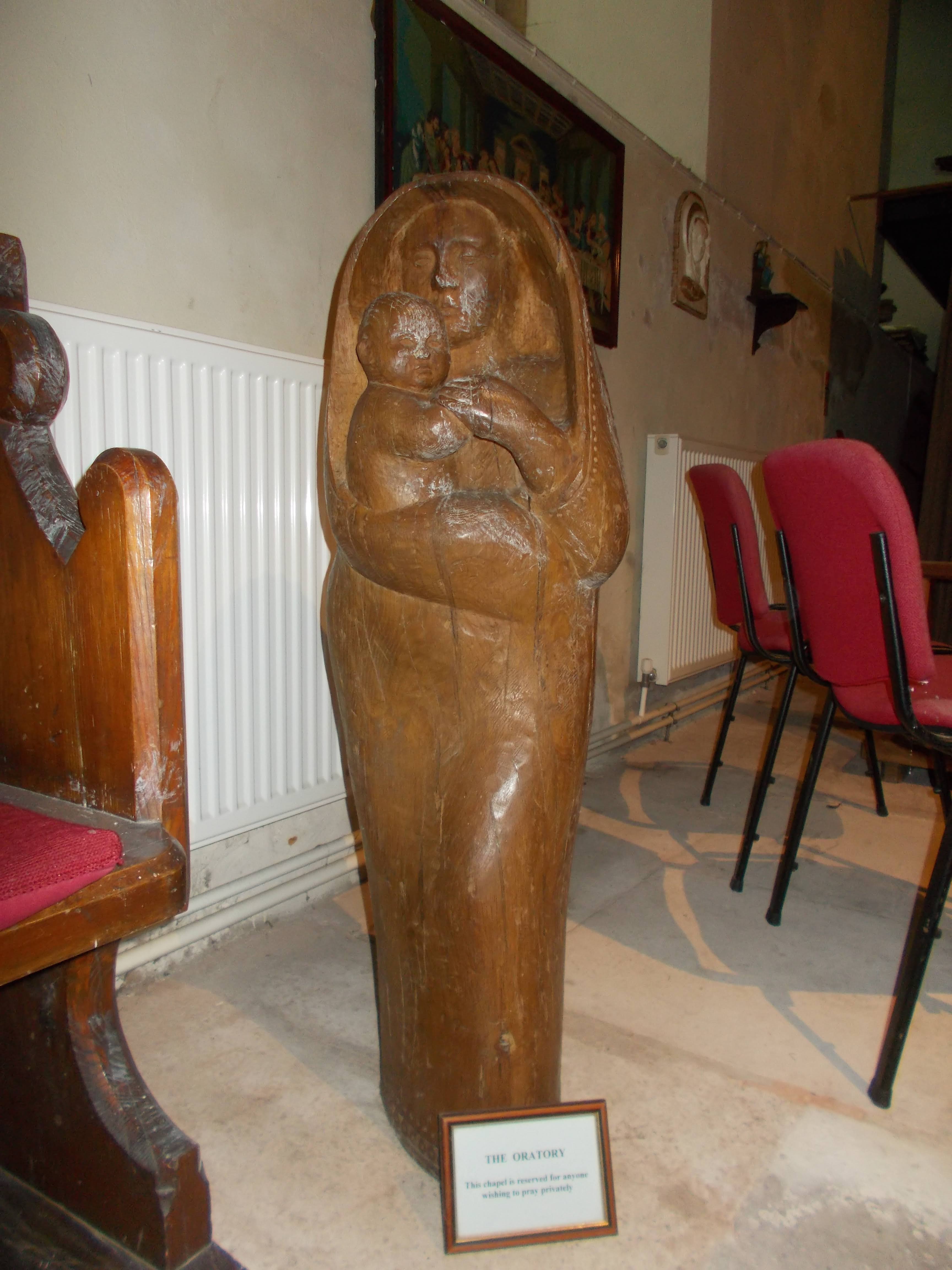
Statue of Mary and Jesus

Crossing and chancel

St Andrew's Church

St Andrew's Church, Stogursey