A waterfall is the place where a stream or river flows over the edge of a steep or vertical cliff and falls into a pool below. Waterfalls often occur where a horizontal band of resistant rock lies over softer rock. The soft rock erodes more quickly forming a step. The harder rock is then undercut by hydraulic and abrasive forces, forming an overhang, which eventually collapses. The fallen rocks drop into the plunge pool and as they are moved around by the force of the water, they cause more erosion of the river bed and banks and another overhang is formed, which also eventually collapses Thus the waterfall gradually recedes upstream, forming a steep sided gorge downstream. Waterfalls can also occur at the edges of plateaus, at sea cliffs, where a hanging valley meets a steep sided valley created by a glacier and where rivers cross faults caused by earthquakes. Some waterfalls are ephemeral and only flow during times of high rainfall or snowmelt. Waterfalls can also be created artificially as garden features.
Waterfalls are few and far between in Somerset. The most dramatic ones I have found are located in the Brendon Hills near Comberow, where an unnamed tributary of the Washford River drops over a near vertical cliff and at St Audrie's Bay, where an unnamed stream falls over a sea cliff onto the beach. The Great Cascade at Hestercombe is manmade waterfall, which is supplied with water by a purpose built leat.

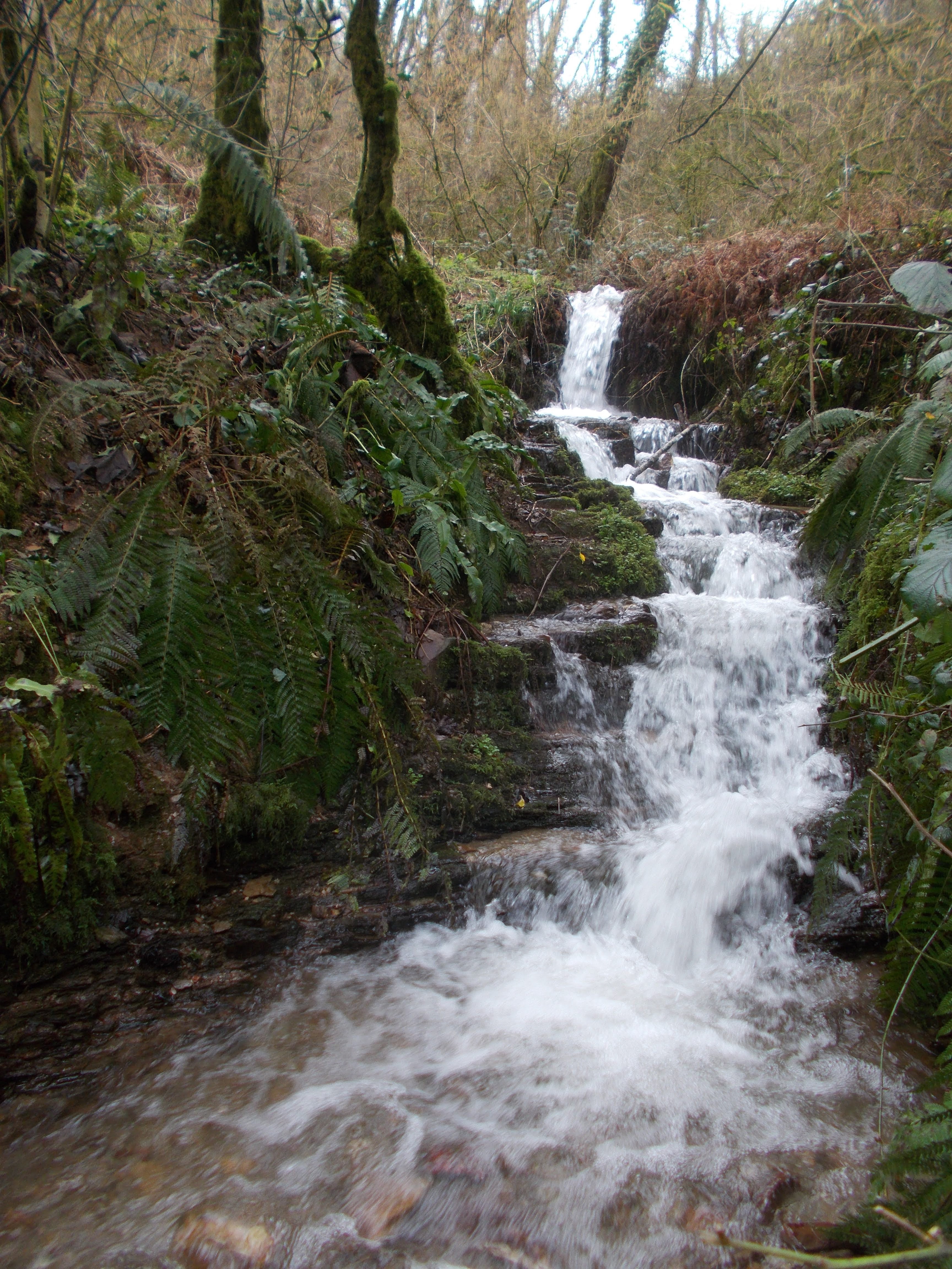
Western Cliff Wood, Comberow, Brendon Hills
Western Cliff Wood, Comberow, Brendon Hills
Western Cliff Wood, Comberow, Brendon Hills
Small waterfall, Horner Water, Exmoor
Sherford Stream, Trull - near Staplehay
St Audrie's Bay
St Audrie's Bay
Cam Brook Waterfall, Highbury Hill, High Littleton
Great Cascade, Hestercombe Gardens
Great Cascade, Hestercombe Gardens
Water cascading over Wimbleball Reservoir dam
Cascade at Wimbleball Reservoir
Temporary small waterfall by the entrance to Snowdrop Valley, Wheddon Cross